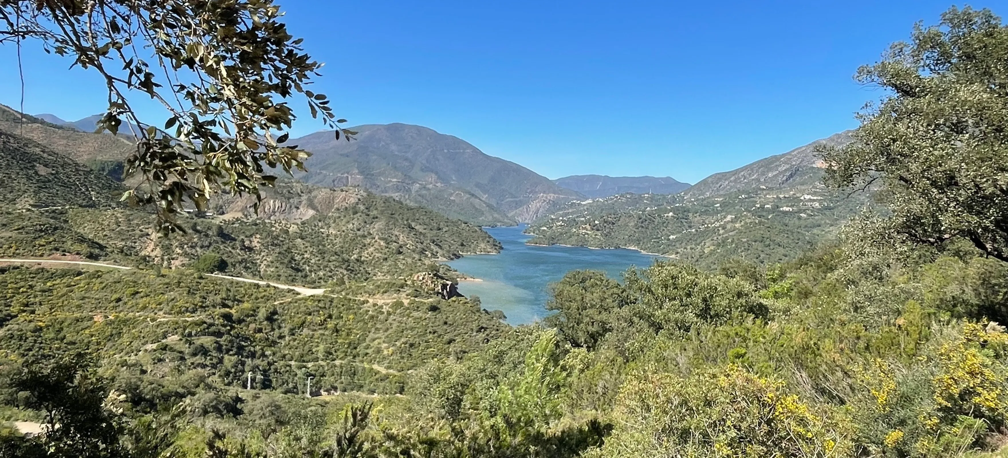
Marbella - La Concepción Reservoir
Marbella · Málaga
A popular out-and-back route above Marbella with open views towards La Concepción reservoir and the surrounding hills.
9.2 km · 2.5–3 hr · 294 m gain
Discover mountain, forest and coastal walks around Marbella, from easy local routes to demanding Sierra Blanca hikes.
Explore 20 real routes in and around Marbella with practical distance, difficulty, elevation and route information.
Marbella · Málaga
A popular out-and-back route above Marbella with open views towards La Concepción reservoir and the surrounding hills.
9.2 km · 2.5–3 hr · 294 m gain
Marbella · Málaga
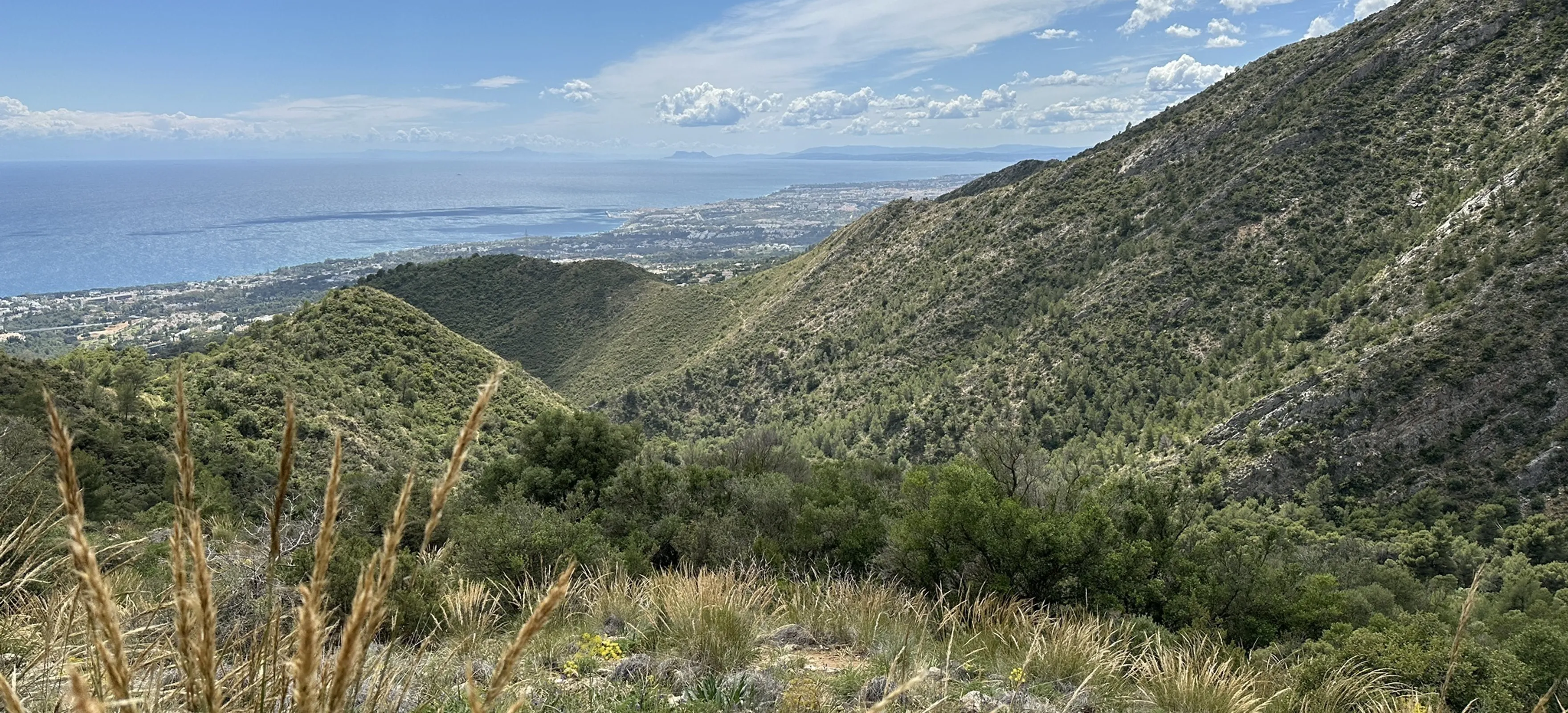
A varied mountain loop above Marbella with a gradual climb, steeper rocky sections and strong viewpoints towards La Concha and the sea.
6.4 km · 376 m gain
Pinar de Nagüeles · Marbella
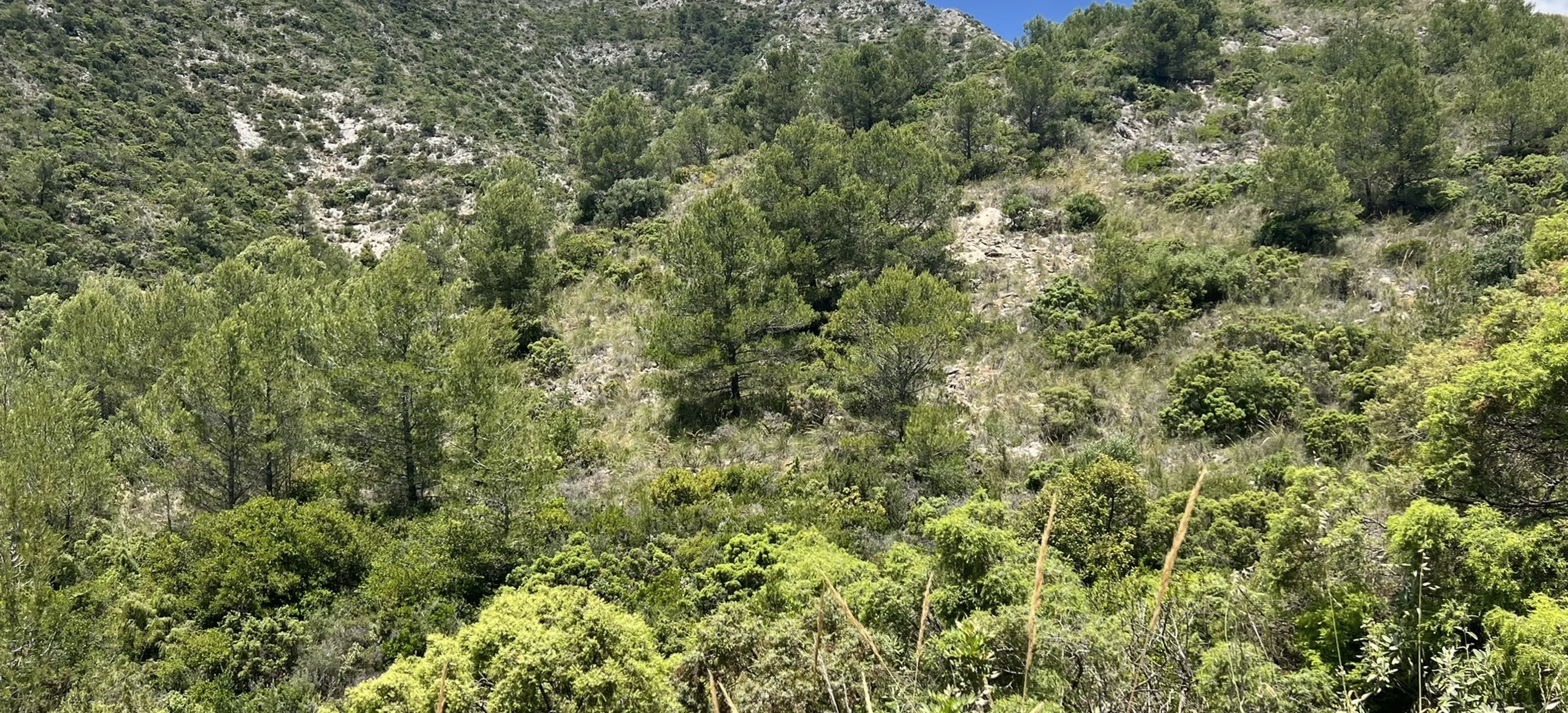
A forest and stream route through the lower Sierra Blanca, passing the remains of the Ermita de los Monjes and old mining landscape.
4.8 km · 207 m gain
Pinar de Nagüeles · Marbella
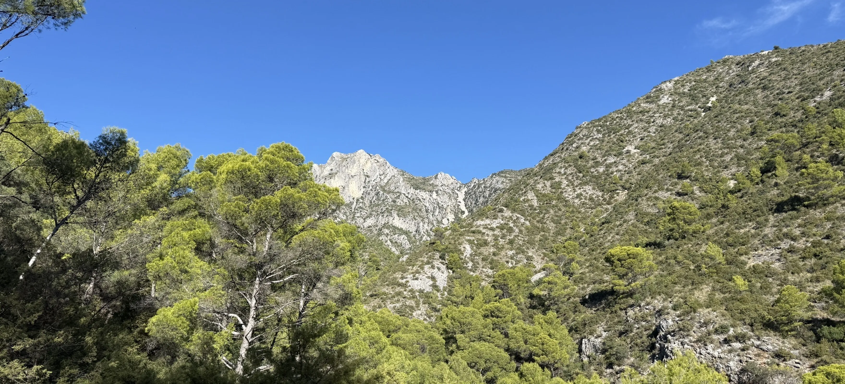
A compact Sierra Blanca hike following the Arroyo de las Piedras towards the Vereda de Buenavista, with steep and rocky sections.
4.8 km · 2–2.5 hr · 314 m gain
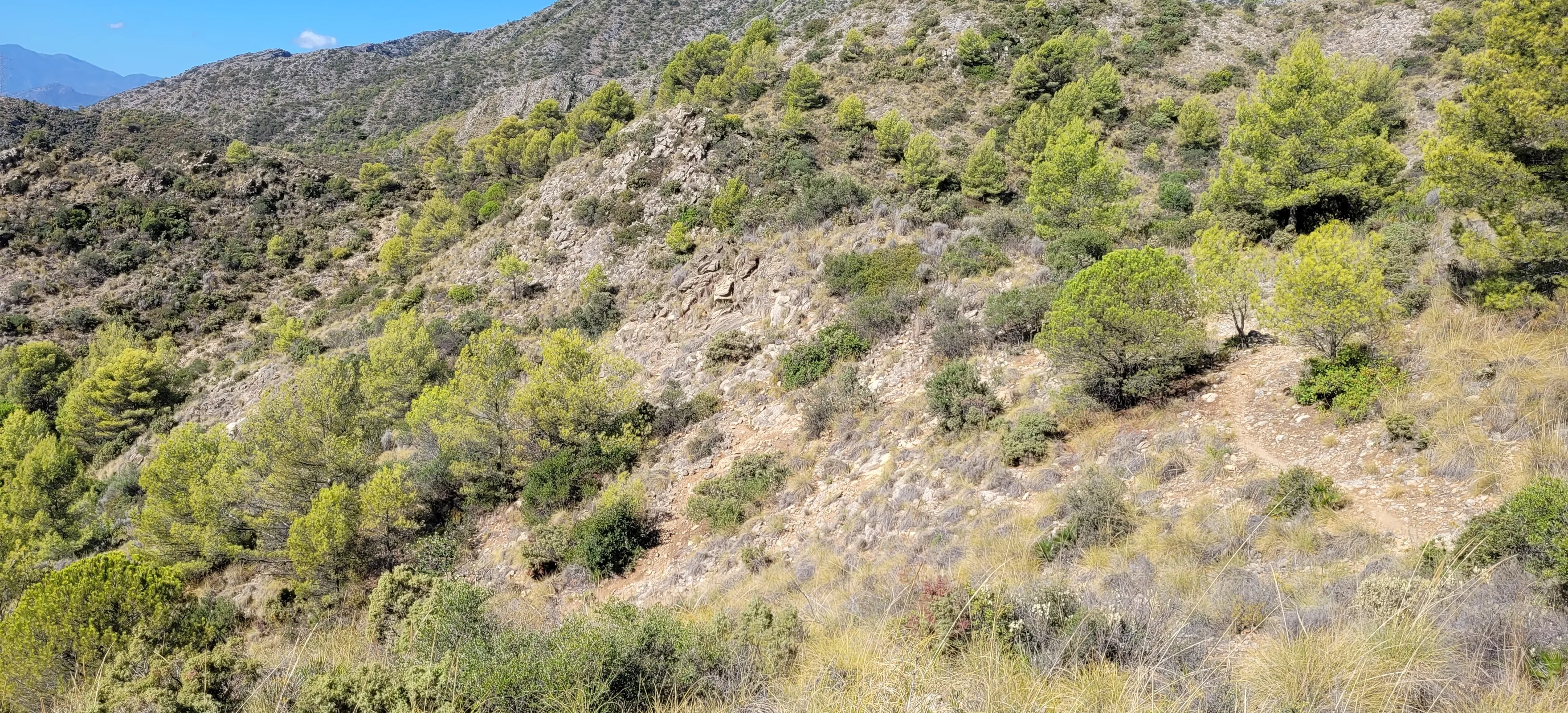
Marbella · Ojén
A circular mountain trail through Mediterranean pine and oak forest with broad views over the Sierra Blanca and the coast.
5.6 km · 2–2.5 hr · 318 m gain
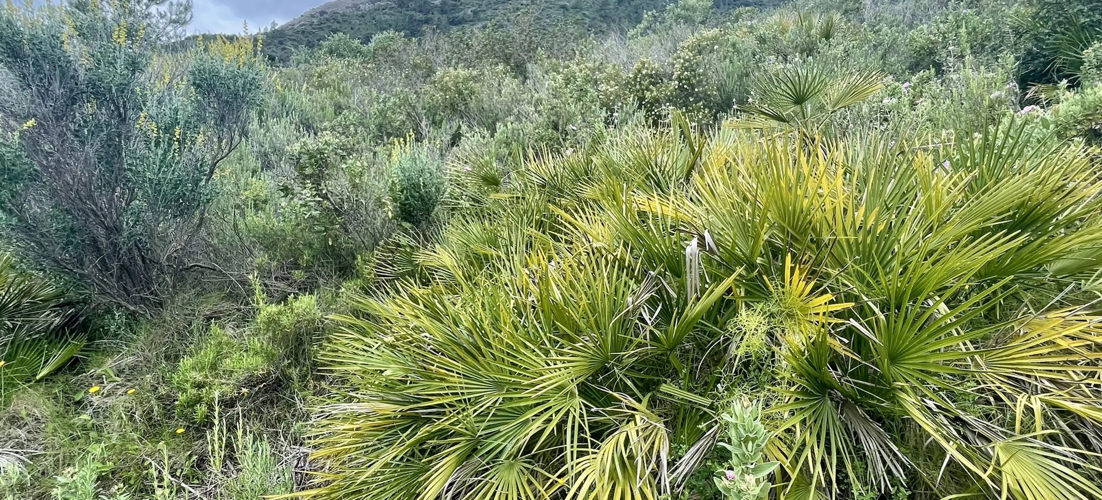
Marbella · Málaga
A demanding circular route through wooded slopes and stream valleys, combining natural sections with elevated viewpoints.
10.1 km · 4–4.5 hr · 572 m gain
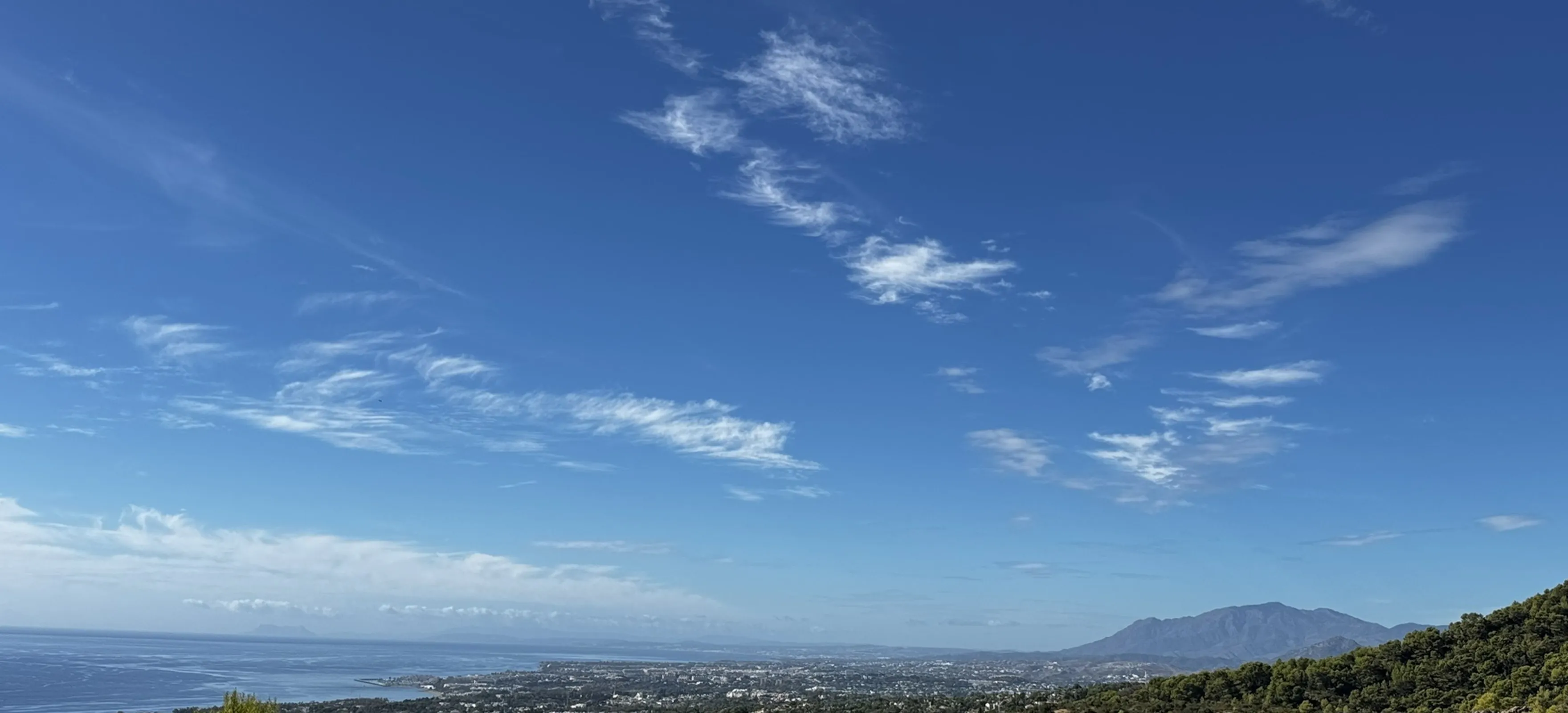
Marbella · Málaga
A varied loop with exposed sunny sections, mountain vegetation and a rewarding viewpoint at Mirador de los Gitanos.
8 km · 3.5–4 hr · 523 m gain
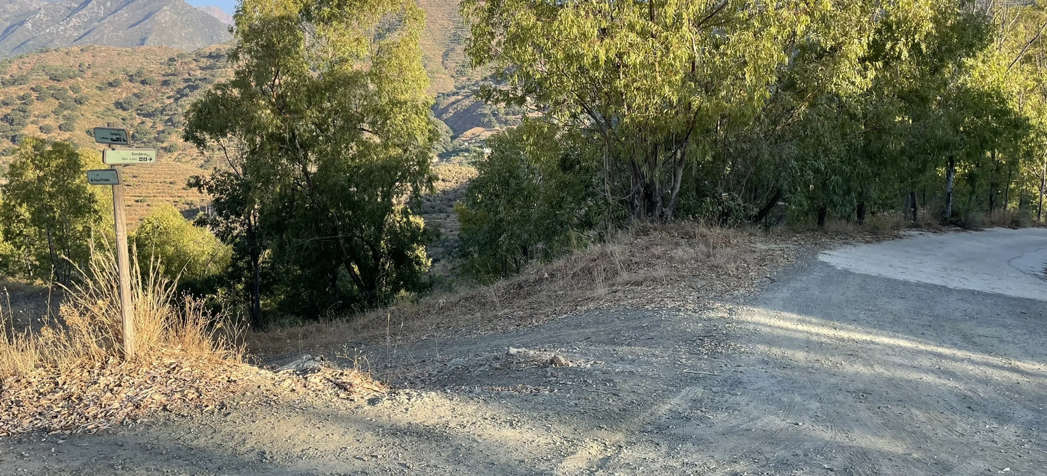
Marbella · Ojén
A longer point-to-point mountain route showing a quieter, more rural side of Marbella with dirt tracks, hills and open countryside.
13.5 km · 4–4.5 hr · 439 m gain
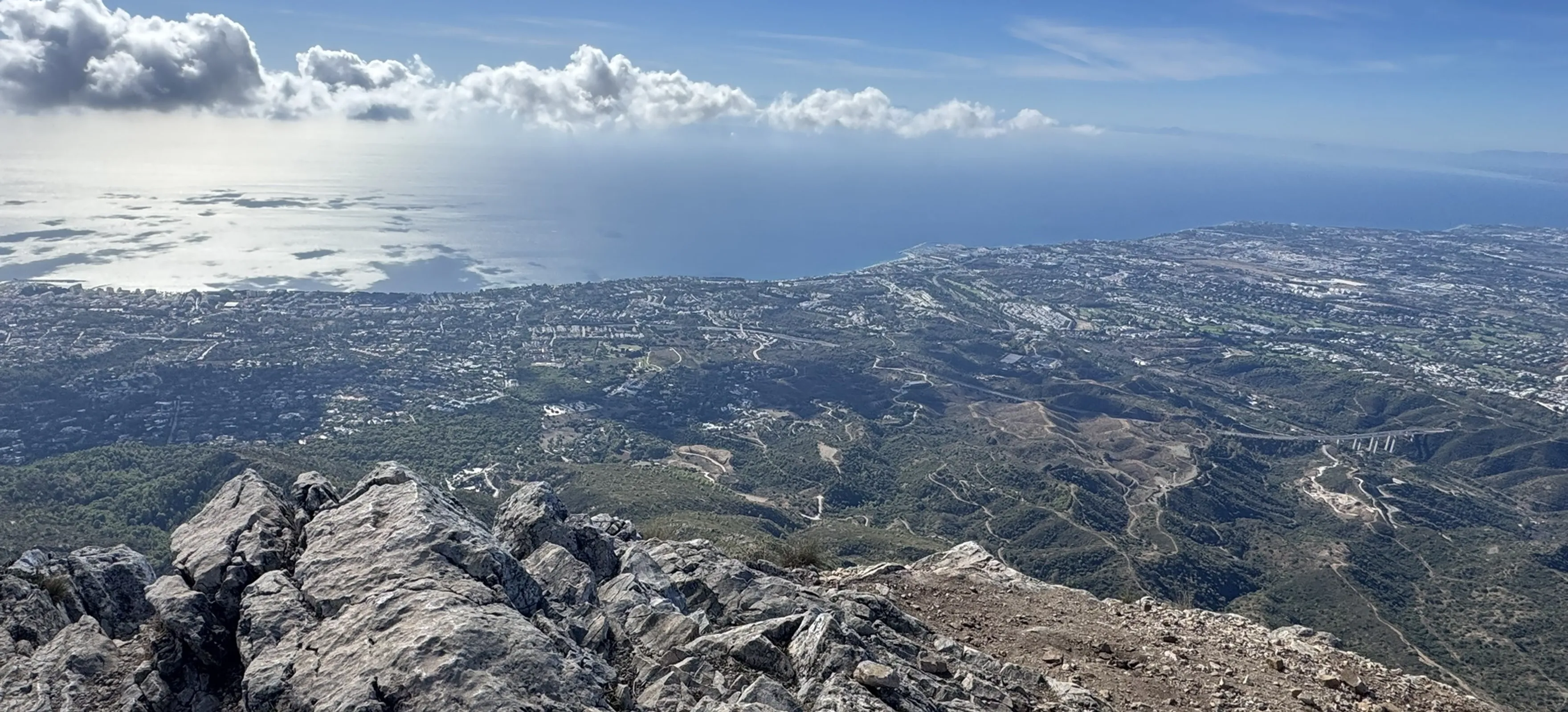
Pinar de Nagüeles · Marbella
A very demanding ascent of La Concha from Nagüeles with steep rocky terrain and exposed sections intended for experienced mountain hikers.
16.7 km · 1,344 m gain
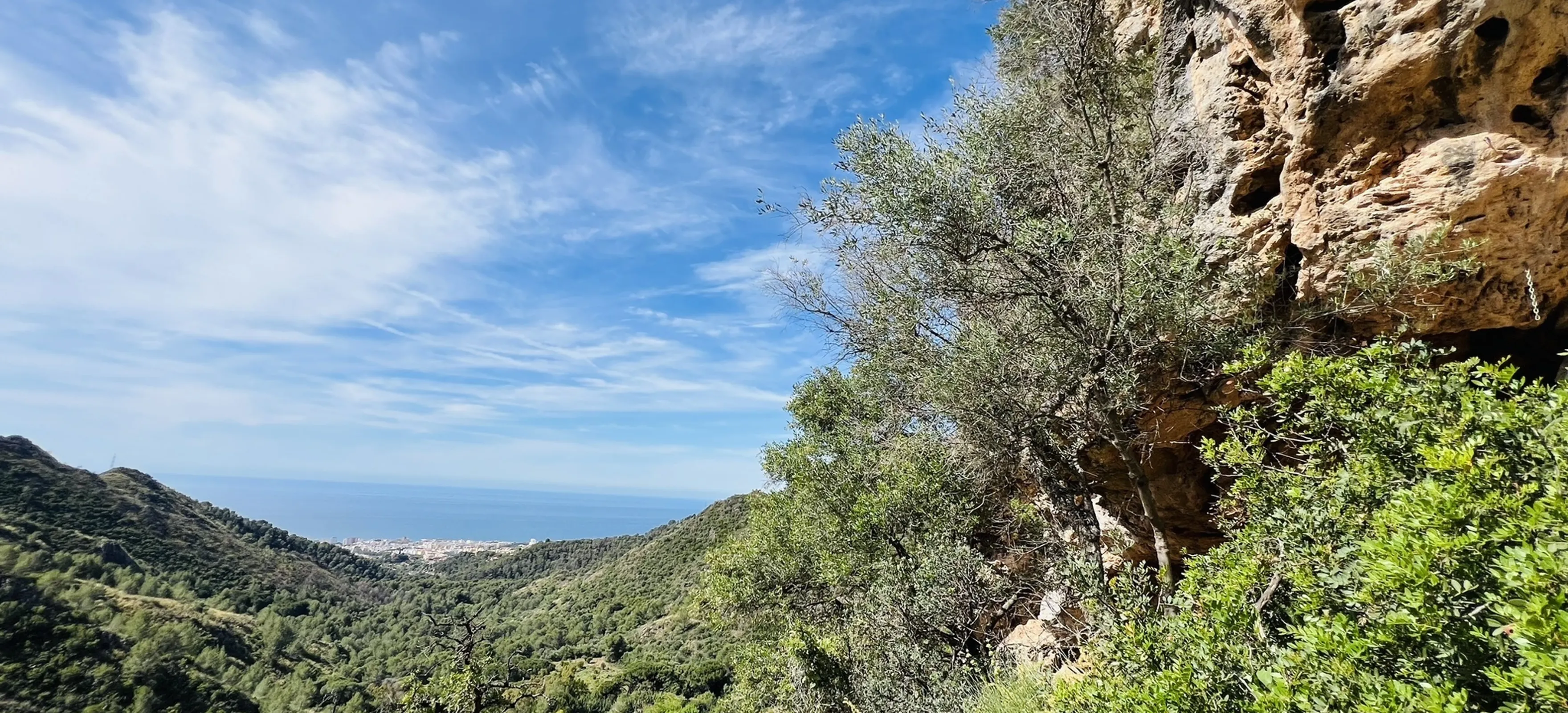
Marbella · Málaga
A long out-and-back route towards the Juanar area with a challenging final climb and wide views across the mountains north of Marbella.
16.6 km · 6.5–7 hr · 896 m gain
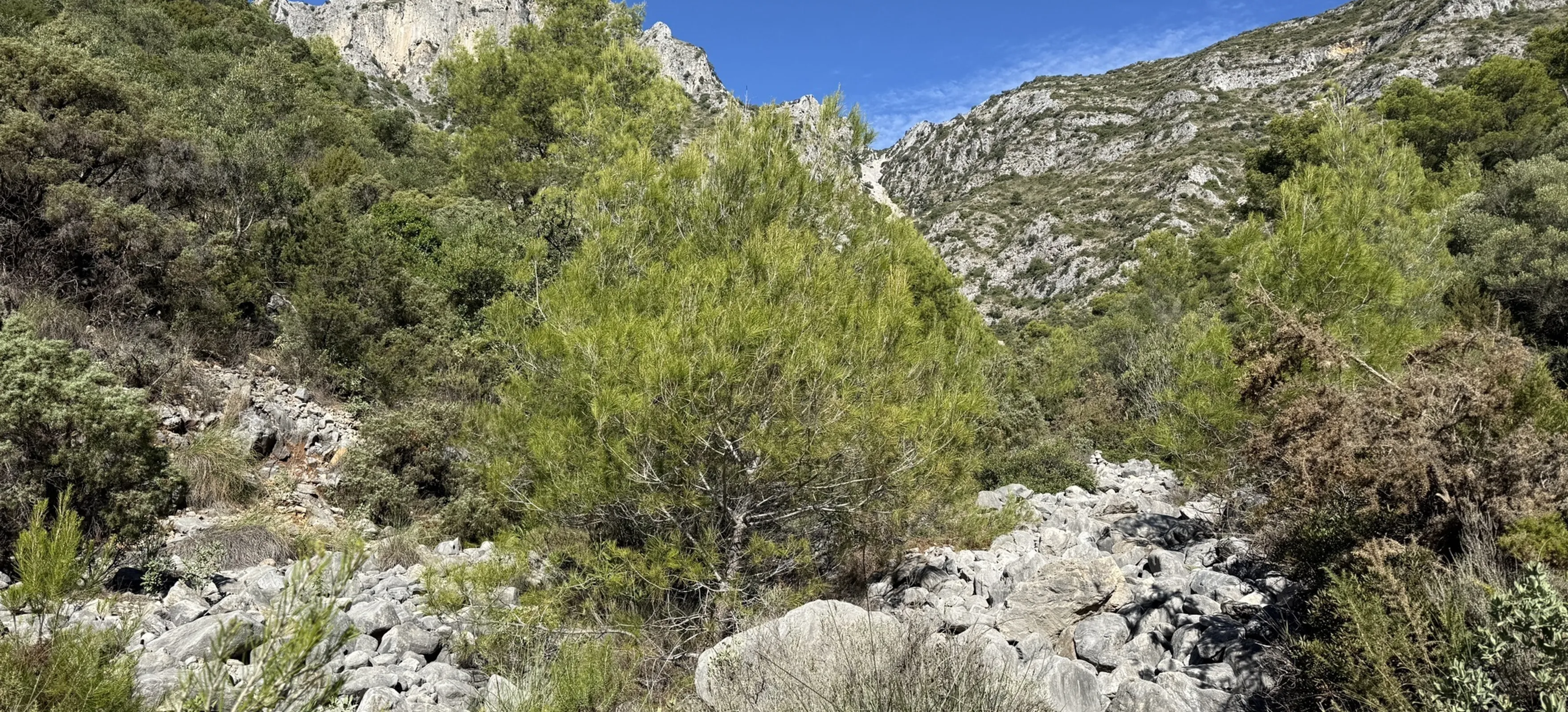
Pinar de Nagüeles · Marbella
A steep and rocky route on the south face of La Concha towards Cerro del Lastonar, suited to experienced mountain hikers.
10.9 km · 1,123 m gain
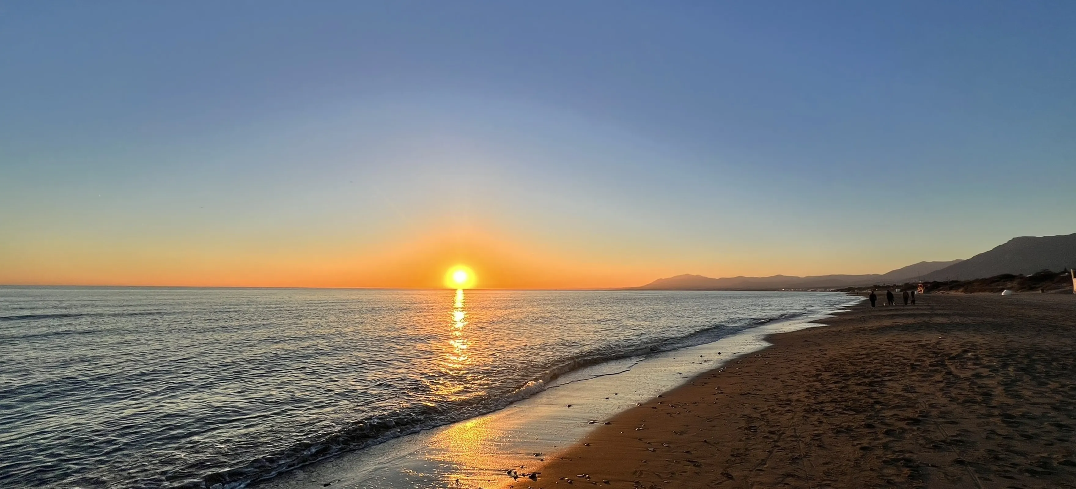
Marbella · Málaga
An easy coastal out-and-back walk east of Marbella passing beaches including El Alicate and approaching the Artola area.
7.1 km · 1–1.5 hr · 11 m gain
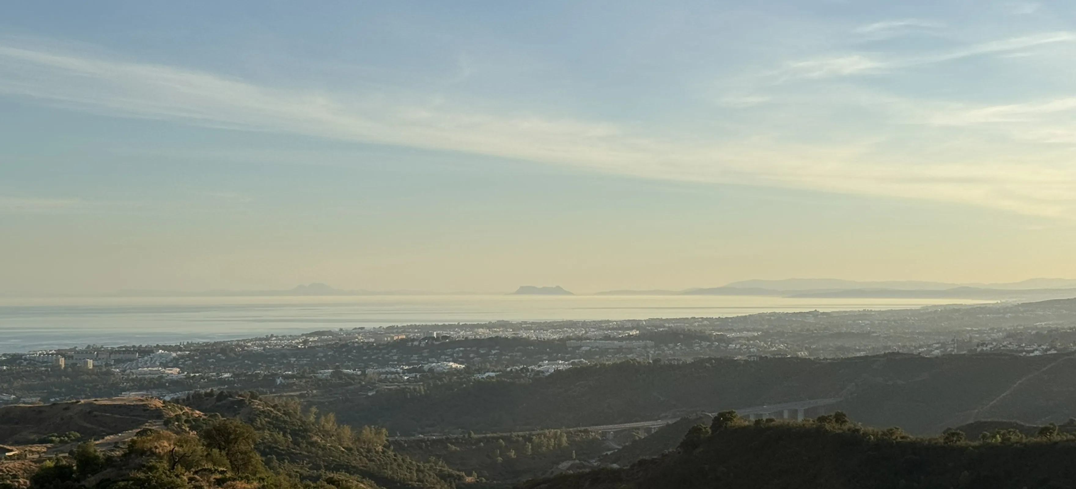
Marbella · Istán
A shorter Sierra Blanca route towards Puerto Correpiña with mountain tracks and views in the direction of La Concepción reservoir.
3.9 km · 1–1.5 hr · 148 m gain

Marbella · Ojén
A substantial circular mountain day linking Marbella, Juanar and Pinar de Nagüeles through multiple passes and viewpoints.
23 km · 9–9.5 hr · 1,293 m gain
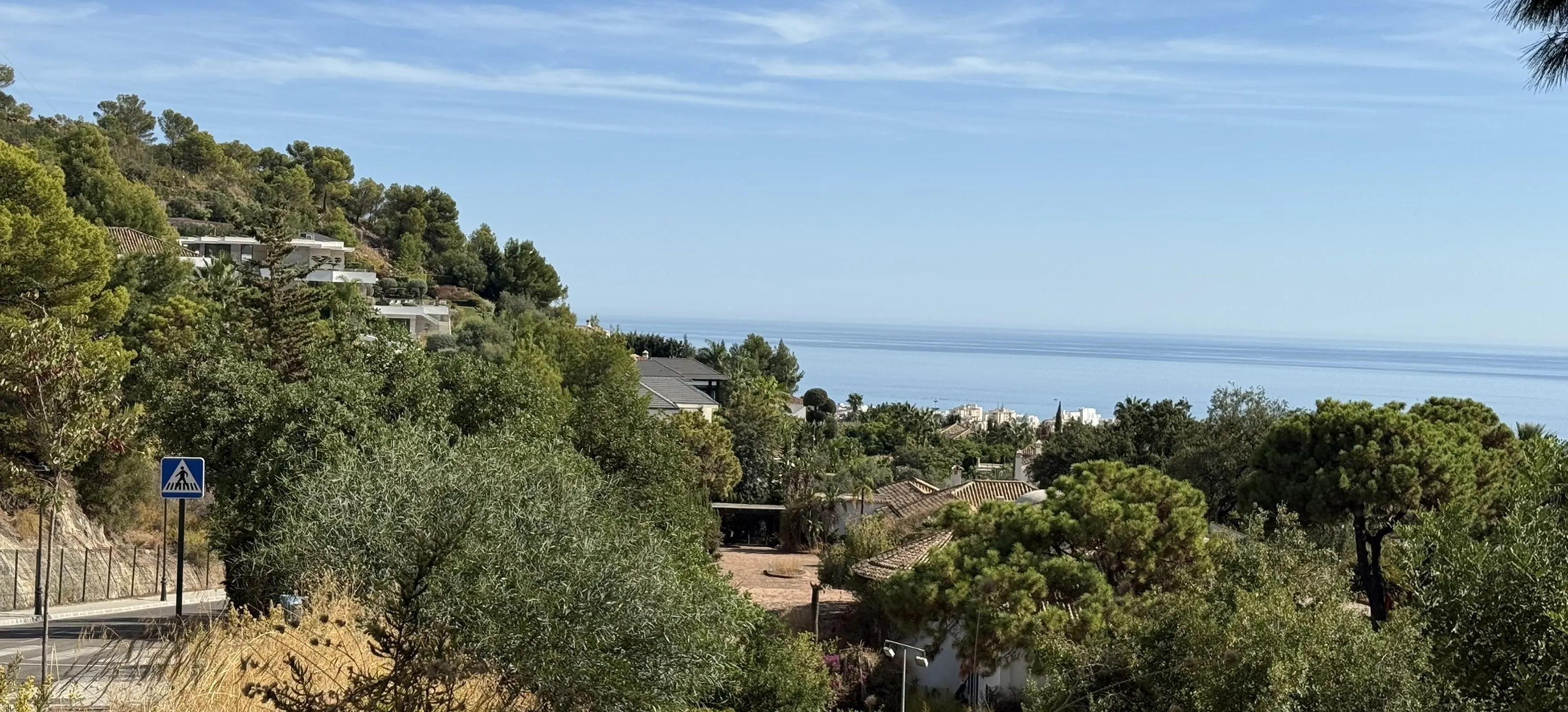
Marbella · Málaga
A short family-friendly route into Pinar de Nagüeles towards the Cascada de Camoján waterfall and surrounding woodland.
1.8 km · 0.5–1 hr · 45 m gain
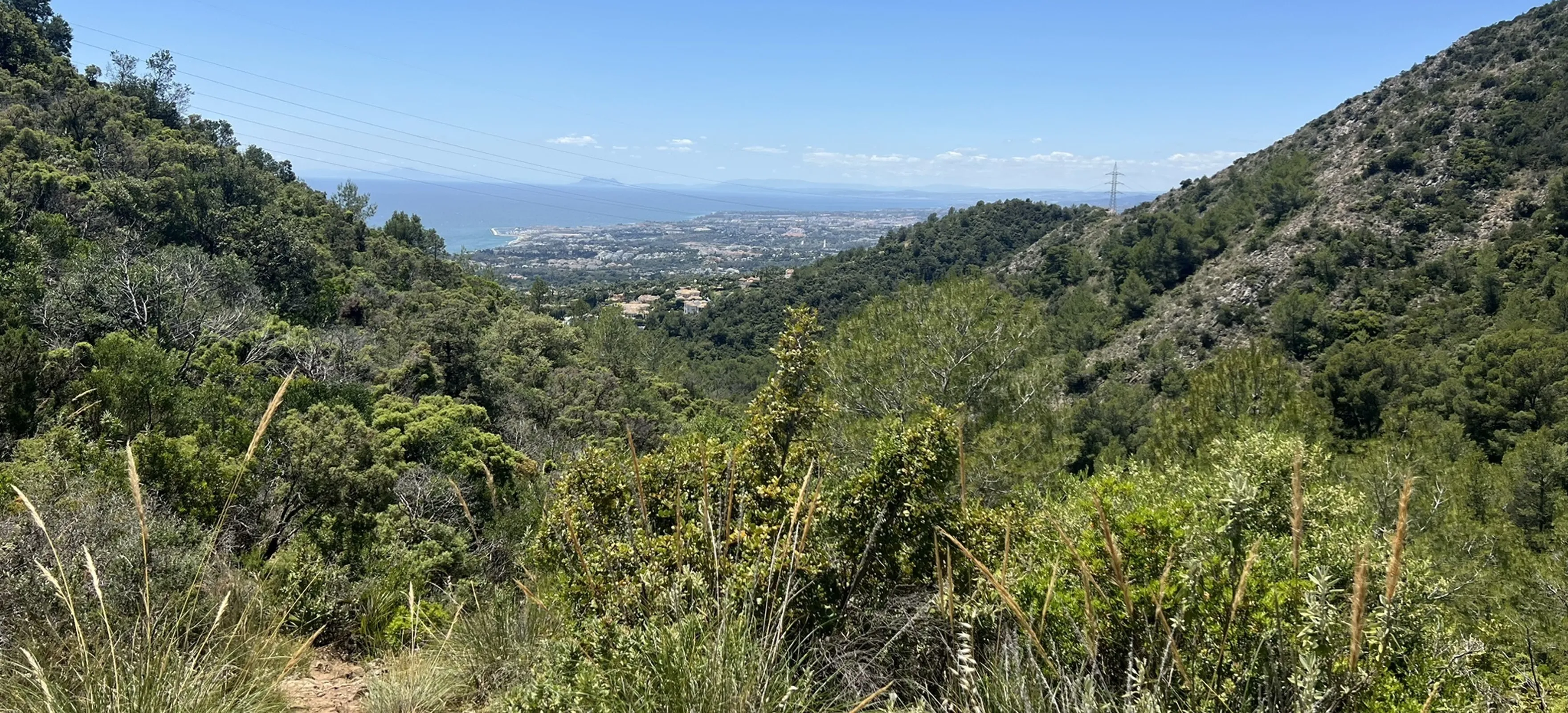
Pinar de Nagüeles · Ojén
A long Sierra Blanca circuit linking the Marbella side of the mountains with Refugio de Juanar and the Ojén interior.
26.4 km · 10–11 hr · 1,498 m gain
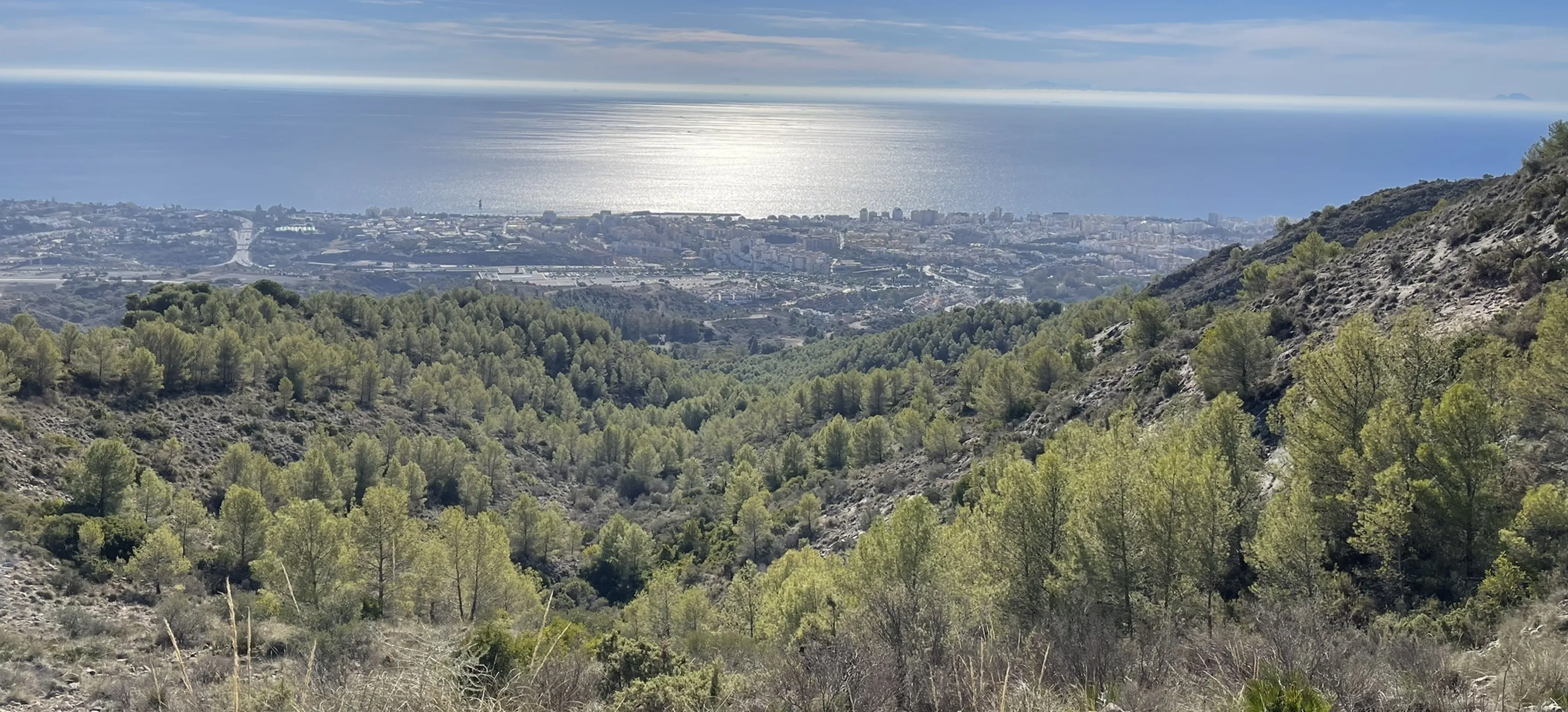
Pinar de Nagüeles · Ojén
A long out-and-back route from Nagüeles through steep Sierra Blanca terrain to the Mirador de Ojén.
23.8 km · 8.5–9.5 hr · 1,172 m gain
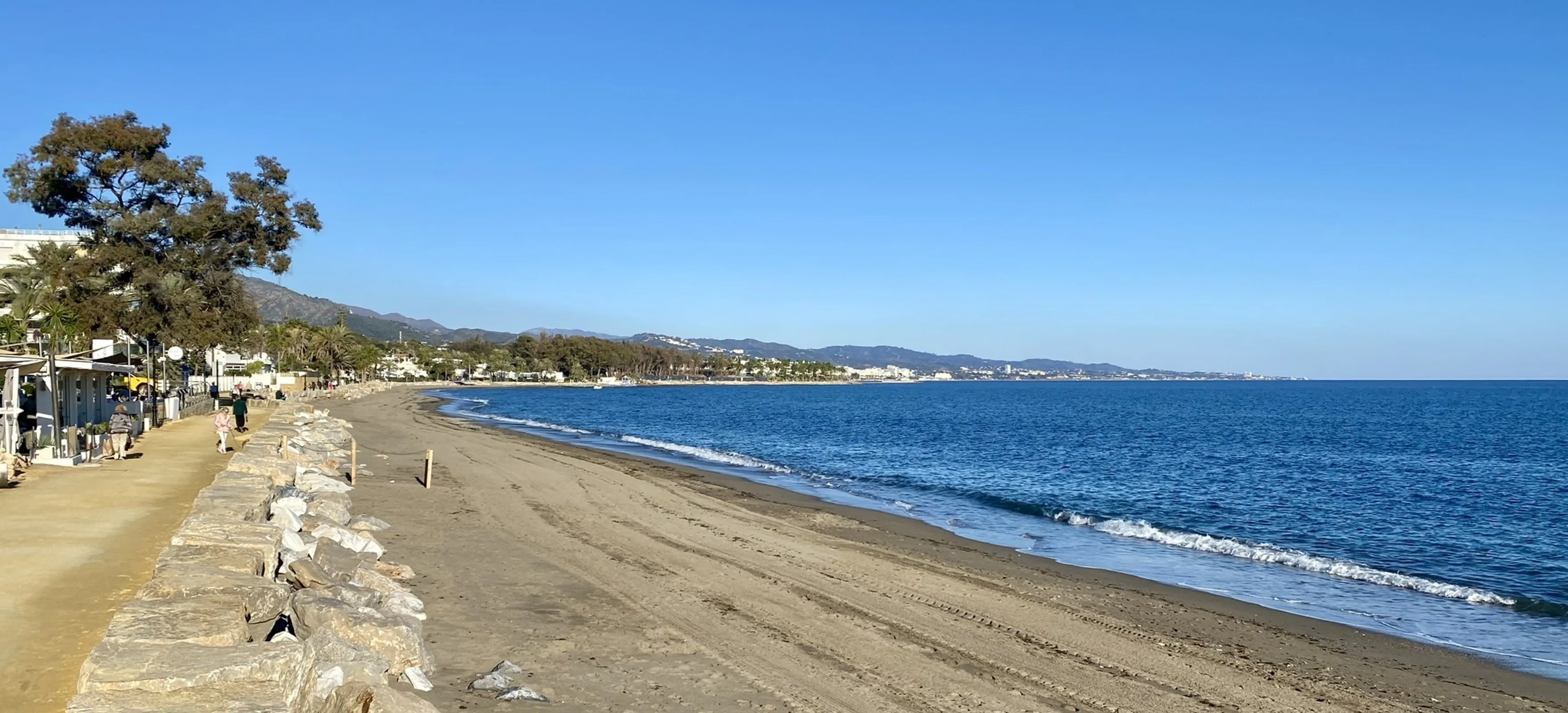
Marbella · Puerto Banús
A long coastal out-and-back route between Marbella and Puerto Banús, suitable for walking, running or an extended seaside outing.
22.7 km · 5–5.5 hr · 165 m gain
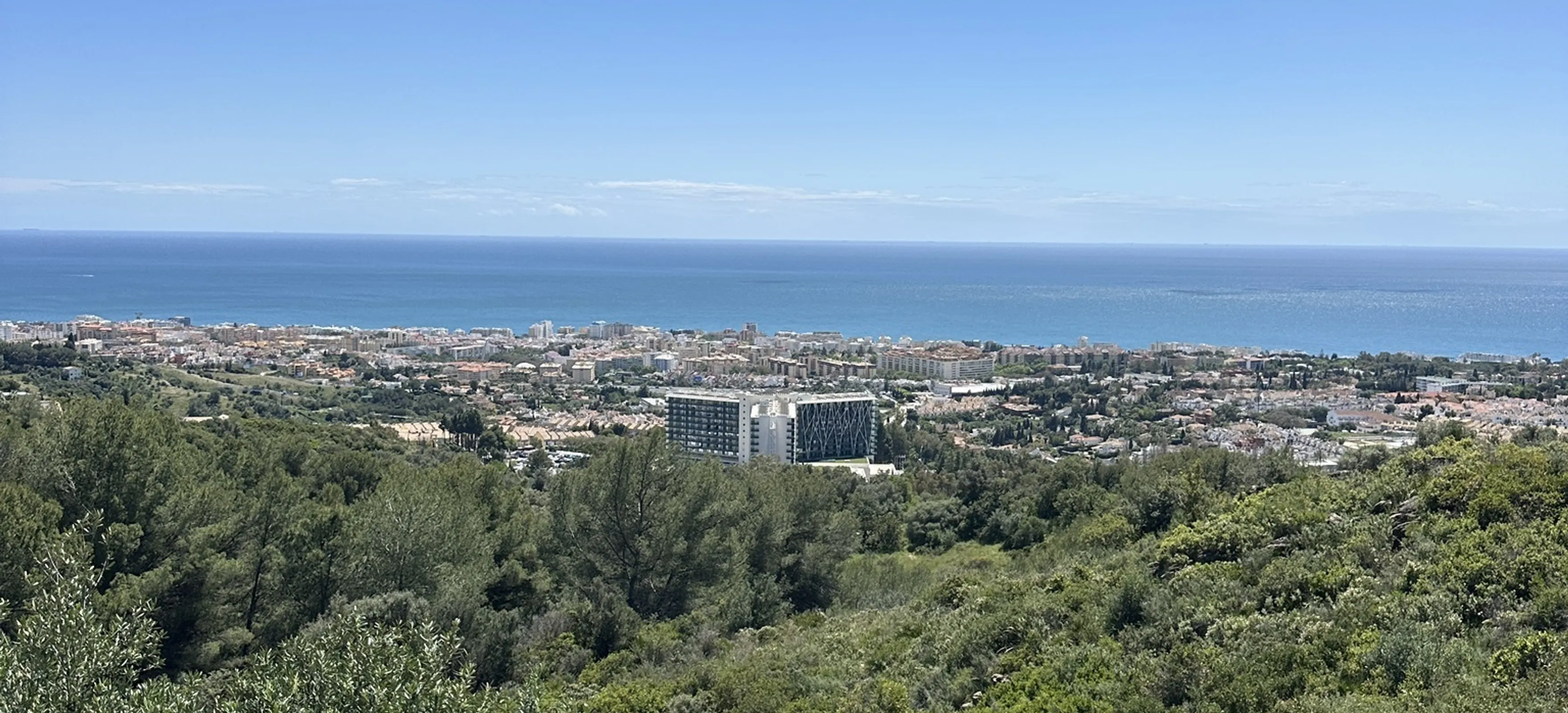
Pinar de Nagüeles · Marbella
A substantial circular hike from Pinar de Nagüeles into steeper rocky terrain before reaching Carril de Puerto Rico Bajo.
12.9 km · 5–5.5 hr · 708 m gain
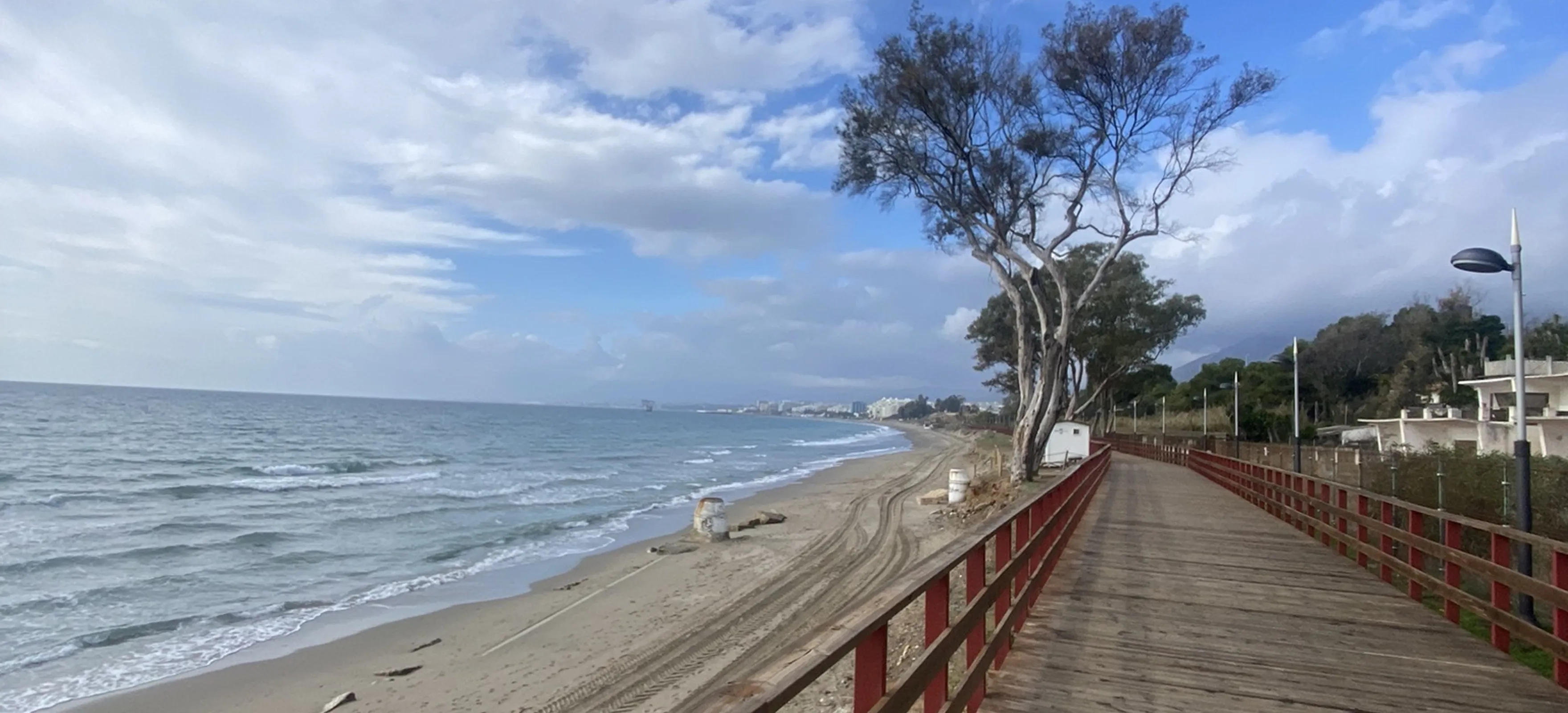
Marbella · Málaga
An easy coastal walk along the Senda Litoral with open Mediterranean views and a mix of beach and urban Marbella scenery.
3.9 km · 0.5–1 hr · 27 m gain
Marbella is surrounded by far more than beaches and golf courses. The Sierra Blanca rises directly behind the city, while nearby mountain routes, forests and coastal paths make the area suitable for everything from an easy walk to a demanding full-day hike.
Conditions can change quickly in the mountains. Always check the weather, take sufficient water, wear suitable footwear and choose a route that matches your experience. Route data and imagery shown in the trail cards are sourced from AllTrails; always check the linked trail page for current conditions and access information before setting out.